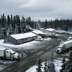
Coldfoot, Alaska
Last fuel before Deadhorse; the Arctic Interagency Visitor Center is nearby.
Two of the most remote public roads in North America. Both are long, largely unpaved and thinly serviced. Riders who finish them do so by planning fuel, tyres and weather holds in detail before leaving pavement.
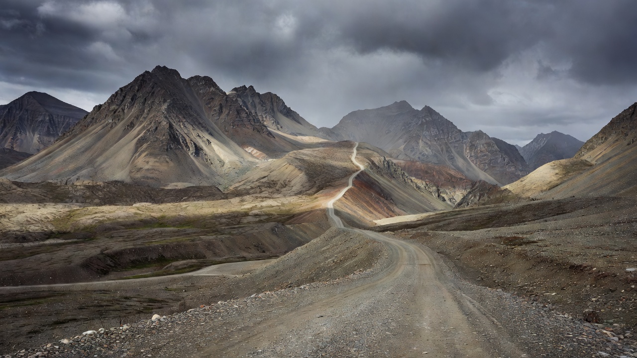
The Dalton Highway was built in 1974 as a haul road for the Trans-Alaska Pipeline, which it follows for most of its length. It begins at the junction with the Elliott Highway near Livengood, north of Fairbanks, and ends 414 miles later at Deadhorse in the Prudhoe Bay oilfields. The road is a mix of gravel and patchy chip-seal, and heavy trucks have priority in practice if not in law.
| Point | Milepost | Distance | Latitude | Services |
|---|---|---|---|---|
| Yukon River crossing | MP 56 | ~90 km | ~65°53′N | Fuel, food (seasonal) |
| Arctic Circle wayside | MP 115 | ~185 km | 66°33′N | Pull-out only |
| Coldfoot | MP 175 | ~282 km | ~67°15′N | Fuel, food, lodging |
| Atigun Pass | MP 244 | ~393 km | ~68°08′N | None |
| Deadhorse | MP 414 | 666 km | ~70°12′N | Fuel, lodging |
The Coldfoot to Deadhorse leg, about 240 miles (386 km), has no fuel. Carry extra in approved containers if your range is short of 450 km with a margin. In wet weather the road is treated with calcium chloride, which turns into slick, sticky mud and coats the bike; wash it off promptly to limit corrosion. Trucks throw stones and dust: pull right and slow for every oncoming rig. Atigun Pass can see snow in any month. Beyond Deadhorse, public access to the Arctic Ocean is restricted to authorised tours.
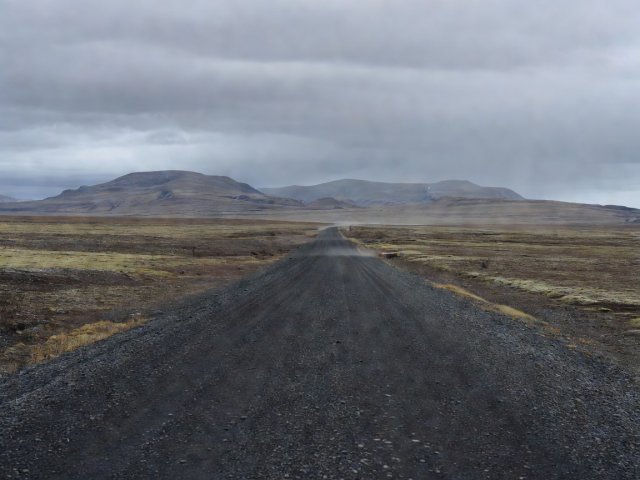
The Dempster leaves the Klondike Highway about 40 km east of Dawson City and runs roughly 740 km to Inuvik in the Northwest Territories. It crosses the Ogilvie and Richardson mountains, passes the Arctic Circle, and uses two summer ferries over the Peel and Mackenzie rivers.
Since 2017 the Inuvik–Tuktoyaktuk Highway, about 138 km of gravel, continues to the Arctic Ocean coast at Tuktoyaktuk, making this the only public road in Canada to reach that ocean.
| Point | Km post | Latitude | Surface | Services |
|---|---|---|---|---|
| Tombstone Interpretive Centre | km 71 | ~64°30′N | Gravel | Information, campground |
| Eagle Plains | km 369 | ~66°22′N | Gravel and shale | Fuel, food, lodging |
| Arctic Circle | km 405 | 66°33′N | Gravel | Pull-out |
| Peel River ferry / Fort McPherson | ~km 539–550 | ~67°26′N | Gravel | Fuel in community |
| Inuvik | ~km 740 | ~68°21′N | Gravel, paved in town | Full services |
Last fuel before Deadhorse; the Arctic Interagency Visitor Center is nearby.
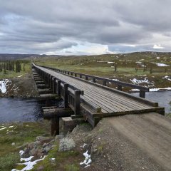
Wooden-decked bridge at MP 56; slippery when wet, ride straight and steady.
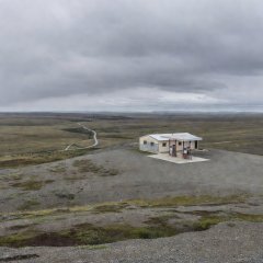
The only services in the long central section of the Dempster.
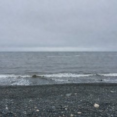
Road's end on the Arctic Ocean, 138 km beyond Inuvik.
Cookies on this site We use necessary cookies to run the site and, with your consent, optional ones to measure visits. You can change this at any time. Cookie policy