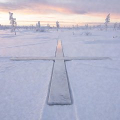
Napapiiri, Rovaniemi
The Arctic Circle crossing on the E75, a few kilometres north of Rovaniemi.
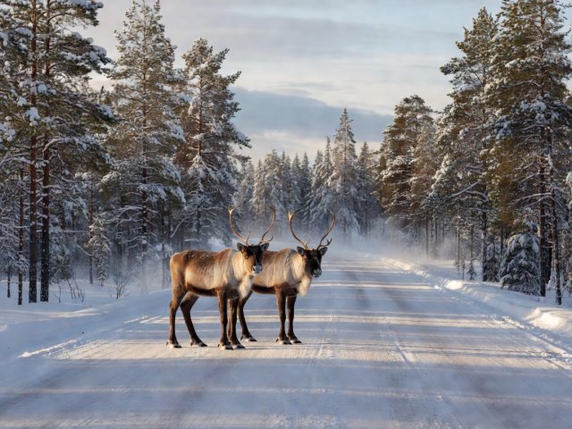
Lapland's main roads are well surfaced and lightly trafficked. The risks are distance, fatigue in endless daylight, and reindeer that treat the road as part of their pasture.
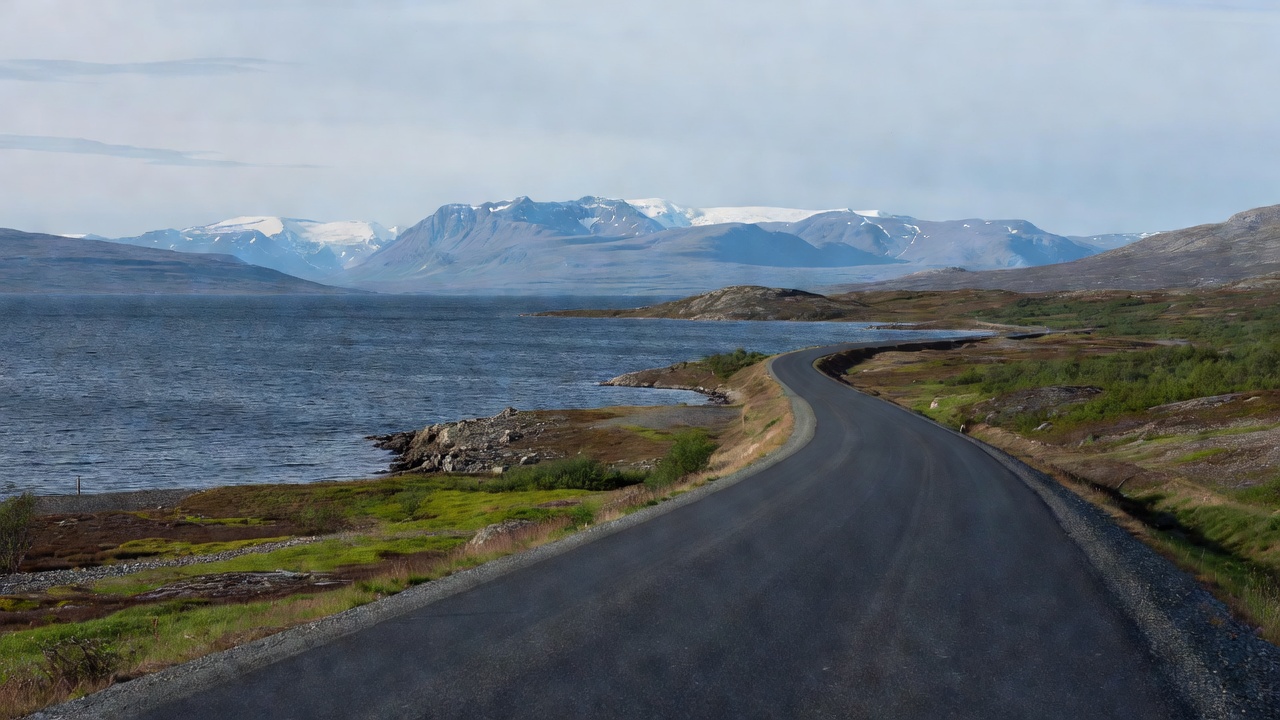
Opened in 1984, this section of the E10 links Kiruna, Sweden's northernmost town, with the ice-free port of Narvik. It follows the shore of Torneträsk, passes Abisko National Park and Björkliden, crosses the border at Riksgränsen and drops through Bjørnfjell to the Rombaken fjord before crossing the Hålogaland Bridge into Narvik. The Malmbanan and Ofotbanen railway, built to carry iron ore, runs alongside for much of the way.
Surface is good tarmac. The challenge is the bare fell section near the border, where wind funnels between mountains and snow can fall in any month. Fill up in Kiruna and treat services along the lake as limited. The descent to Narvik is steep with sharp bends; brake early on cold tyres.
The E75 is Finland's main north–south artery above the Arctic Circle. It leaves Rovaniemi, crosses the Arctic Circle at Napapiiri and runs through Sodankylä, Saariselkä and Ivalo to Inari, then continues north through Kaamanen to Utsjoki on the Teno river, where the Sámi Bridge crosses into Norway.
The road is paved and mostly straight through pine and birch forest, rising onto open fell country north of Inari. Fuel stations are regular as far as Inari; the stretch from Inari to Utsjoki, around 165 km, is the longest leg to plan carefully.
| Leg | Distance | Latitude | Surface | Notes |
|---|---|---|---|---|
| Rovaniemi–Sodankylä | ~130 km | ~67°25′N | Paved | Arctic Circle at Napapiiri |
| Sodankylä–Ivalo | ~165 km | ~68°40′N | Paved | Kaunispää fell at Saariselkä |
| Ivalo–Inari | ~40 km | ~68°54′N | Paved | Lake Inari, Siida museum |
| Inari–Utsjoki | ~165 km | ~69°54′N | Paved | Longest fuel gap; open fells |
Finnish Lapland lies within the reindeer herding area, and reindeer collisions are a recognised road risk. Animals gather on the asphalt to escape insects in midsummer and often move in groups. If one crosses, expect more to follow. Warning signs mark known crossings, but reindeer can appear anywhere. Ride at a speed that lets you stop within the distance you can see, and be most alert at dusk-like low-sun hours, when brown animals blend into the road surface.
Mosquito and blackfly season peaks in late June and July. Keep the visor down at stops and carry repellent. Roadworks are common in the short summer, with loose chippings and lane closures. Finnish traffic moves at measured speeds with frequent cameras, so build time into the plan rather than making it up on the road.
The Arctic Circle crossing on the E75, a few kilometres north of Rovaniemi.
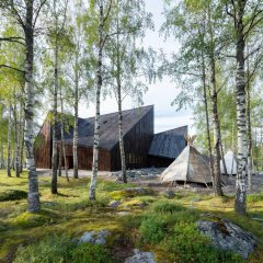
The Sámi museum and nature centre; a useful rest stop before the final fuel gap.
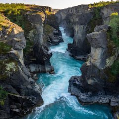
Directly beside the E10, with short walks to the canyon for a leg stretch.
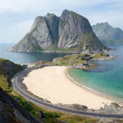
West of Narvik the E10 continues to Å in Lofoten; narrow, busy and slow in high summer.
An alternative crossing is the E8 from Tornio through Kilpisjärvi to Skibotn on the Lyngenfjord, which links Finnish Lapland with the E6 in Troms. For the onward ride north, see the Finnmark and E6 guide.
Cookies on this site We use necessary cookies to run the site and, with your consent, optional ones to measure visits. You can change this at any time. Cookie policy