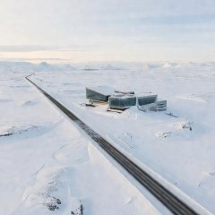
Arctic Circle Centre, Saltfjellet
Marks 66°33′N on the E6 in Nordland; a natural first stop and weather check.
Norway's northbound E6 is paved the whole way, but paved does not mean easy. Exposed mountain plateaus, a subsea tunnel, reindeer on the carriageway and long distances between towns shape every day on this route.
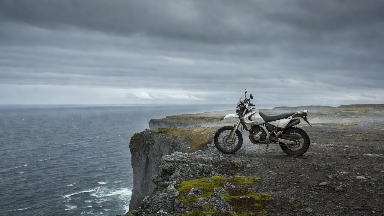
The E6 crosses the Arctic Circle on the Saltfjellet plateau in Nordland, where the Arctic Circle Centre stands beside the road. From there it runs north past Fauske, crosses Tysfjord on the Bognes–Skarberget car ferry, and continues through Narvik toward Troms and Finnmark. Beyond Alta the E6 heads east to Kirkenes, while the E69 branches north at Olderfjord for the final run to Nordkapp.
Plan the far north as separate legs rather than one long push. The table below covers the section most riders treat as the core Arctic run.
| Leg | Distance | Latitude reached | Key feature | Fuel note |
|---|---|---|---|---|
| Burfjord–Alteidet (Kvænangsfjellet) | ~40 km | ~69°50′N | Exposed mountain crossing | Fill before the climb |
| Alta–Skaidi (Sennalandet) | ~80 km | ~70°15′N | High, open plateau | No reliable fuel on the plateau |
| Olderfjord–Honningsvåg (E69) | ~95 km | ~70°59′N | North Cape Tunnel | Longest gap on this leg |
| Honningsvåg–Nordkapp | ~34 km | 71°10′N | Plateau road, winter convoys | Return to Honningsvåg to refuel |
Two sections deserve particular respect. Kvænangsfjellet, between Burfjord and Alteidet, climbs above the treeline with sweeping views and strong crosswinds. Sennalandet, between Alta and Skaidi, is a broad plateau where reindeer herds graze close to the road and temperatures can sit near freezing even in June. Snow fences line both roads for a reason: these stretches can close in bad weather outside summer.
Ride both with an extra layer accessible, a full tank and a margin in your schedule. If the forecast shows gale-force winds, wait for a better window rather than fighting gusts on a loaded bike.
The E69 reaches Magerøya through the North Cape Tunnel, about 6.8 km long and descending to roughly 212 metres below sea level. Expect a steep descent, a cold and damp interior, and wet road surfaces near the bottom. Ride with dipped headlights, keep the visor clear of fog, and do not stop inside.
Between Honningsvåg and the Nordkapp plateau the road crosses open, treeless terrain. In summer, reindeer brought out to Magerøya for coastal grazing frequently stand on the road. In winter the last section is often run as a convoy behind a snowplough; most motorcyclists will not ride it then, but late-season riders should check conditions with Statens vegvesen.
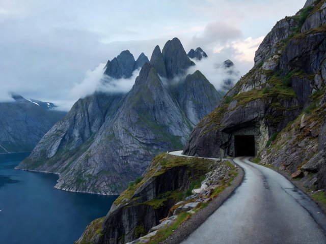
Senja, Norway's second-largest island, is reached over the Gisund Bridge from Finnsnes. The National Tourist Route follows the outer coast on Fv86 and Fv862 between Gryllefjord and Botnhamn, linking fishing villages and viewpoints such as Bergsbotn, Tungeneset and Ersfjordstranda.
Surface is paved but narrow, with tight bends, single-lane tunnels and camper vans. Fill up in Finnsnes. In summer a ferry links Gryllefjord with Andenes, giving a coastal link to Vesterålen; check the season and timetable before relying on it.
Marks 66°33′N on the E6 in Nordland; a natural first stop and weather check.
Finnmark's largest town and the last full-service stop before Nordkapp; home to rock carvings on UNESCO's World Heritage List.
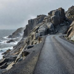
A coastal National Tourist Route branching off the E69; out and back on one road.
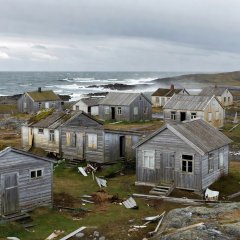
Far-east Finnmark via the Varanger National Tourist Route; narrow final stretch beyond Vardø.
Cookies on this site We use necessary cookies to run the site and, with your consent, optional ones to measure visits. You can change this at any time. Cookie policy