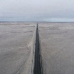
Skeiðarársandur
Vast glacial outwash plain on the south coast; wind and blowing sand are routine.
Mainland Iceland sits just south of the Arctic Circle, which crosses only the small island of Grímsey. The riding, however, is Arctic in character: wind, cold rain, gravel and long empty stretches in the east and the interior.
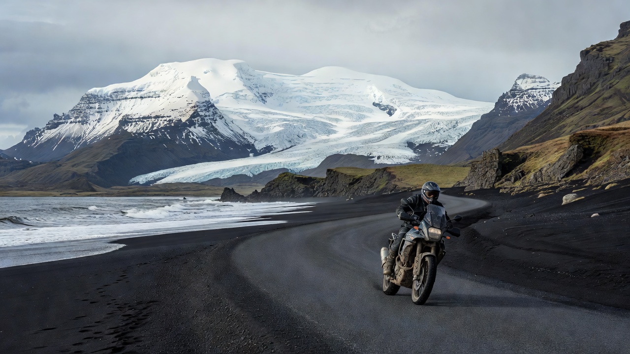
Route 1, the Ring Road (Hringvegur), loops around the island for roughly 1,320 km. It is paved almost throughout, typically one lane in each direction without hard shoulders. Most riders allow at least seven to ten days for the loop, which leaves margin for weather holds and side trips.
| Leg | Distance | Latitude | Surface | Main hazard |
|---|---|---|---|---|
| Reykjavík–Vík | ~185 km | ~63°25′N | Paved | Traffic, wind under the mountains |
| Vík–Höfn | ~270 km | ~64°15′N | Paved, single-lane bridges | Sandstorms, gusts at Öræfi |
| Höfn–Egilsstaðir | ~185 km | ~65°15′N | Paved, fjord bends | Fog, loose edges |
| Egilsstaðir–Mývatn | ~165 km | ~65°40′N | Paved, high plateau | Longest fuel gap on the ring |
| Mývatn–Akureyri–Reykjavík | ~480 km | ~65°40′N | Paved, mountain passes | Cold rain, Öxnadalsheiði pass |
Iceland's wind is the single biggest factor for motorcyclists. Gusts can be strong enough to push a loaded bike across a lane, and certain places are notorious: below Hafnarfjall and at Kjalarnes near Reykjavík, the Öræfi district beneath Vatnajökull, and the sandur plains of the south coast, where wind also carries grit. The Icelandic Road and Coastal Administration publishes wind speeds at weather stations along the road; check them at every stop and be ready to wait out a storm.
Fuel is regular in the south and west but thinner in the east and on the north-east plateau. Many stations are unattended card pumps that require a chip card with a PIN, or a prepaid card bought from the station. The run between Egilsstaðir and Mývatn crosses the high, barren Möðrudalsöræfi; start it with a full tank.
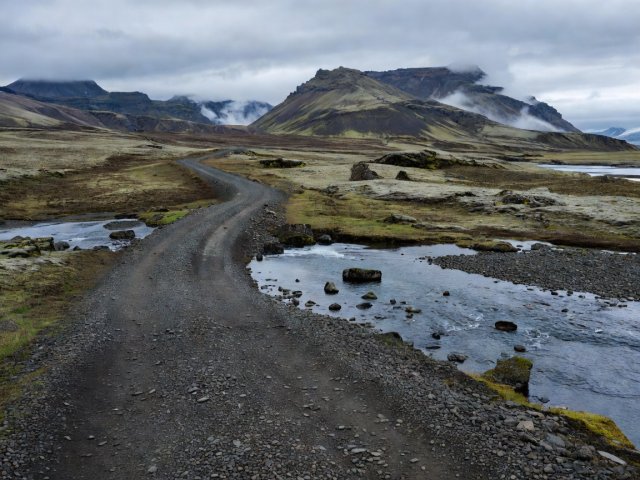
Iceland's interior is crossed by mountain roads marked with the prefix F. They open only once the road administration declares them passable, usually from late June or July, and close again in early autumn. Kjölur (F35) runs between the Gullfoss area and the north, while Sprengisandur (F26) crosses the barren centre between glaciers.
Expect corrugated gravel, sand traps, potential river fords and no fuel or mobile coverage for long distances. Ford only after walking the crossing, never alone, and turn back if glacial meltwater rises in the afternoon.
Vast glacial outwash plain on the south coast; wind and blowing sand are routine.
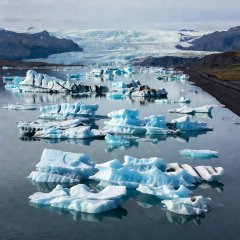
Glacier lagoon directly beside Route 1; busy parking, so slow early.
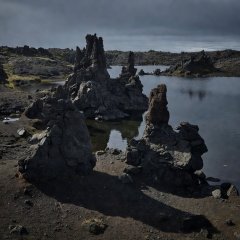
Volcanic lake district with fuel and accommodation; the north-east anchor point.
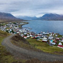
The north's main town; full services before the passes toward the west.
Cookies on this site We use necessary cookies to run the site and, with your consent, optional ones to measure visits. You can change this at any time. Cookie policy